

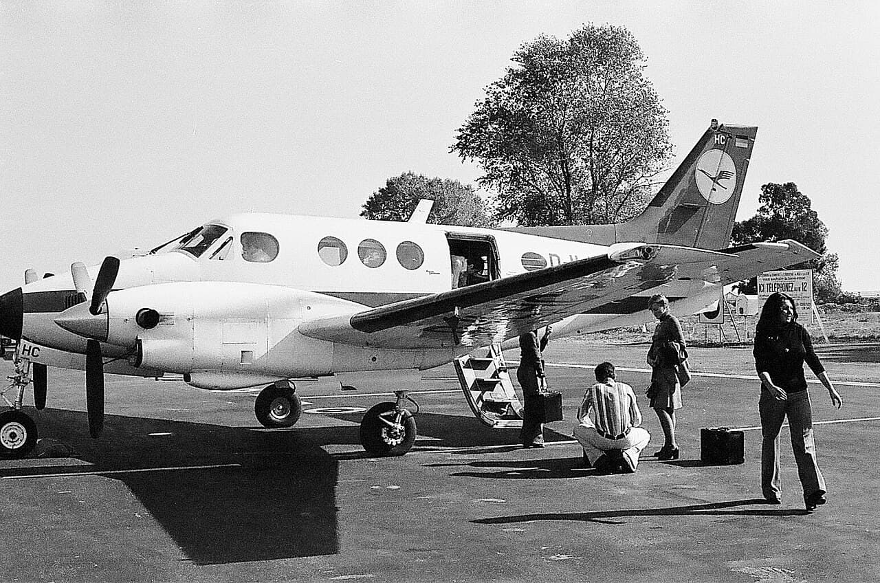
King Air ambulance crashes in New Mexico amid military GPS jamming during night visual approach
Military exercise taking place when descending aircraft struck mountain ridge during visual approach in darkness. US investigators have yet to determine why a Beechcraft C90 King Air ambulance fatally crashed into high terrain during a night visual approach in New Mexico, at a time when military jamming was taking place in the area. The National Transportation Safety Board stresses that it is still probing the 14 May accident, which left no survivors from two pilots and two nurses on board. But the aircraft had been attempting to descend from 12,000ft towards Sierra Blanca regional airport, near Ruidoso, which lies at an elevation of about 6,800ft. Although the aircraft's crew had initially intended an area navigation approach – which requires satellite-based positioning – to runway 24, they opted to switch to an ILS approach owing to the loss of GPS navigation capability. But neither the area navigation nor the ILS approach procedure was authorised if no local altimeter setting had been received, and NOTAM information stated that Sierra Blanca airport's automated weather system was out of service. The aircraft had been directed to fly northwest in preparation for a vectored approach. While about 27nm northeast of Sierra Blanca airport, however, the crew informed the area controller that they had "a visual on Ruidoso" and could "go visual". This meant turning southwest and descending over the Capitan mountains – which rise to some 10,200ft – in darkness and zero moonlight, just after midnight. Nearly 5min after commencing the descent, the aircraft had reached the mountain ridge and – according to its Spidertracks flight-tracking equipment which provided GPS-generated altitude data – was flying at 9,400ft. The aircraft subsequently began climbing but, about 45s later, it collided with terrain at about 9,950ft. Complicating the inquiry is the fact that military GPS jamming activity was taking place near the White Sands missile range, and the Albuquerque area control centre had issued a NOTAM warning that it could interfere with GPS navigation and ADS-B. This has generated speculation in various media channels that the King Air's GPS equipment might have been providing false information to the crew. But amid these suggestions, the National Transportation Safety Board insisted on 5 August that it has "not yet determined the probable cause or any contributing factors". It points out that it validates and analyses "all available evidence" before reaching conclusions. There is evidence that GPS and ADS-B data from the flight was affected. The crew reported losing GPS capability shortly after departure, and requested headings. While Spidertracks GPS-based data was generated for the whole flight, there was only a partial ADS-B record owing to the reporting frequency substantially reducing for much of it. The Spidertracks data typically indicated altitudes 600ft higher than the ADS-B data. As area centre controllers sought to vector the aircraft they requested that the military jamming exercise cease temporarily. ADS-B reporting frequency returned to normal shortly afterwards. Jamming was permitted to resume when the aircraft's pilots confirmed they would make a visual approach to Sierra Blanca airport, and began their descent. Investigators state that at least three other aircraft in the vicinity reported a loss of GPS around the same time as the King Air. Generation Jets had been operating the 47-year old aircraft (N249CP), working with its partner Trans Aero MedEvac which provided the medical support personnel.